A free program for Android, by B01 software.
The goal of this app is to maximize ease in the topographic surveying industry. Using its preset layers, it enables you to export AutoCAD files. It also enables direct printing of a data table along with the drawing as well as PDF or JPEG file export. Tables in CSV format can also be imported and exported using this feature.
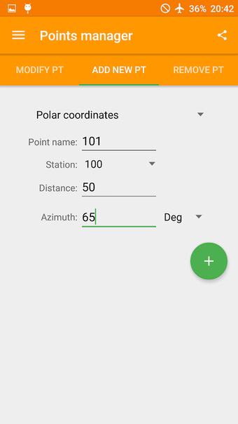
Also possible with this app are the creation and saving of projects, the creation of a scaled drawing preview, the management of points, the input of polar, cartesian, and GPS coordinates, the calculation of the sides, area, perimeter, angles, and azimuth of a triangle, the drawing of continuous and dashed lines, and more.